How Gurgaon’s vanished check dams turned a hill city into a flood zone
Roughly 100 British-era check dams that once slowed monsoon runoff into Gurgaon have been encroached upon or built over, worsening annual flooding.
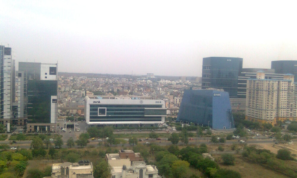
Long before Gurgaon became a skyline of glass towers, the British built roughly 100 small check dams and bunds around the city — at Ghata, Jharsa, Wazirabad and Chakkarpur — specifically to slow monsoon runoff from the surrounding Aravalis and let ponds absorb the excess before it reached lower-lying areas.
Most of those structures have since been encroached upon or built over entirely. The Ghata bund alone has shrunk from around 370 acres to just 2, replaced by high-end residential towers, removing a natural buffer that once protected the city from exactly the kind of flooding it now experiences every monsoon.
The consequences were on full display this week, when 115mm of rain over 33 hours overwhelmed the city’s drainage system. Waterlogging spread across Sectors 31, 39, 40, 44, 45, 46, 56, 57, Sheetla Mata Mandir Road, Sohna Road, Basai Road, Kadipur and the Delhi-Jaipur Highway service lane near Narsinghpur, while even NH-48, the expressway connecting Delhi to Jaipur, caved in near Narsinghpur where a 10-foot-long crater opened up during ongoing stormwater pipe work.
Gurgaon’s topography compounds the problem: the city sits in a natural bowl, ringed by the Aravalis on all sides but one, with a 90-metre drop between its highest and lowest points that sends water rushing straight down into low-lying sectors during every monsoon.


Leave a Reply