Weakening Polar Vortex signals could bring prolonged cold snaps this winter, forecasters say
Long-range forecast models suggest a weakening Polar Vortex this winter could lead to prolonged cold spells in parts of North America and Europe.
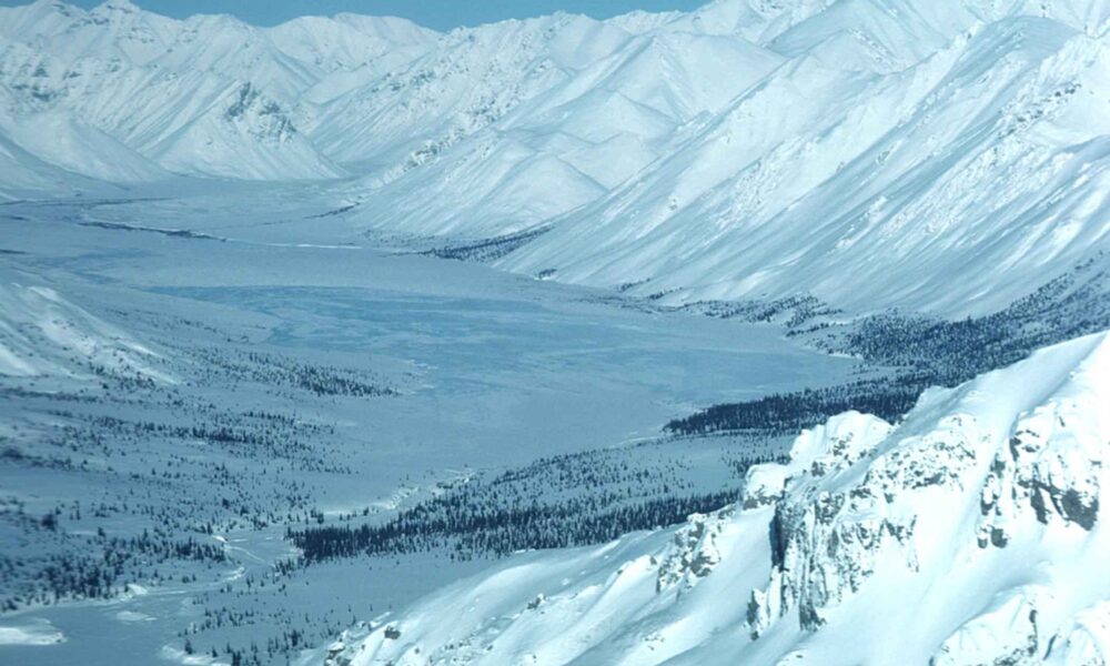
Long-range forecast models are flagging early signals of a weakening Polar Vortex this winter, a pattern that has historically been linked to prolonged cold spells and heavy snowfall across parts of North America and Europe, according to a Severe Weather Europe analysis.
The Polar Vortex is a massive area of cold, fast-spinning winds high in the atmosphere above the Arctic that normally stays strong through winter, keeping extremely cold Arctic air confined near the North Pole. When it weakens or is disrupted — sometimes dramatically, in what’s known as a Sudden Stratospheric Warming event — that cold air can spill southward into populated regions.
The analysis links the current signals to a developing Super El Niño, noting that past records show a higher probability of Polar Vortex disruptions during El Niño winters, particularly in December and January. Forecast models reviewed in the report show stratospheric wind speeds projected to drop well below the long-term average during January and February 2027, a key indicator of vortex weakening.
A disrupted Polar Vortex does not automatically mean snow or freezing temperatures everywhere; instead, it raises the likelihood that Arctic air moves farther south, with local weather patterns determining exactly where the coldest conditions occur. The report cautions that despite improvements in seasonal climate models, predicting winter weather months in advance remains inherently uncertain.


Leave a Reply